

"We should let the cows design our roads"
"We should let the cows design our roads"
Thoughts on organic city design

Last week at CNU, they restarted the Art Room—a full day and a half of training in urban sketching, city layout design, and architecture design theory. This year was hosted by my good friend, Victor Dover and his design director, James Dougherty. I loved the sketching training, but the layout process was so pragmatic and grounded in millennia of city design history: the ultimate evidence based outcomes. These are cities that have succeeded, not the ones that have passed out of memory.
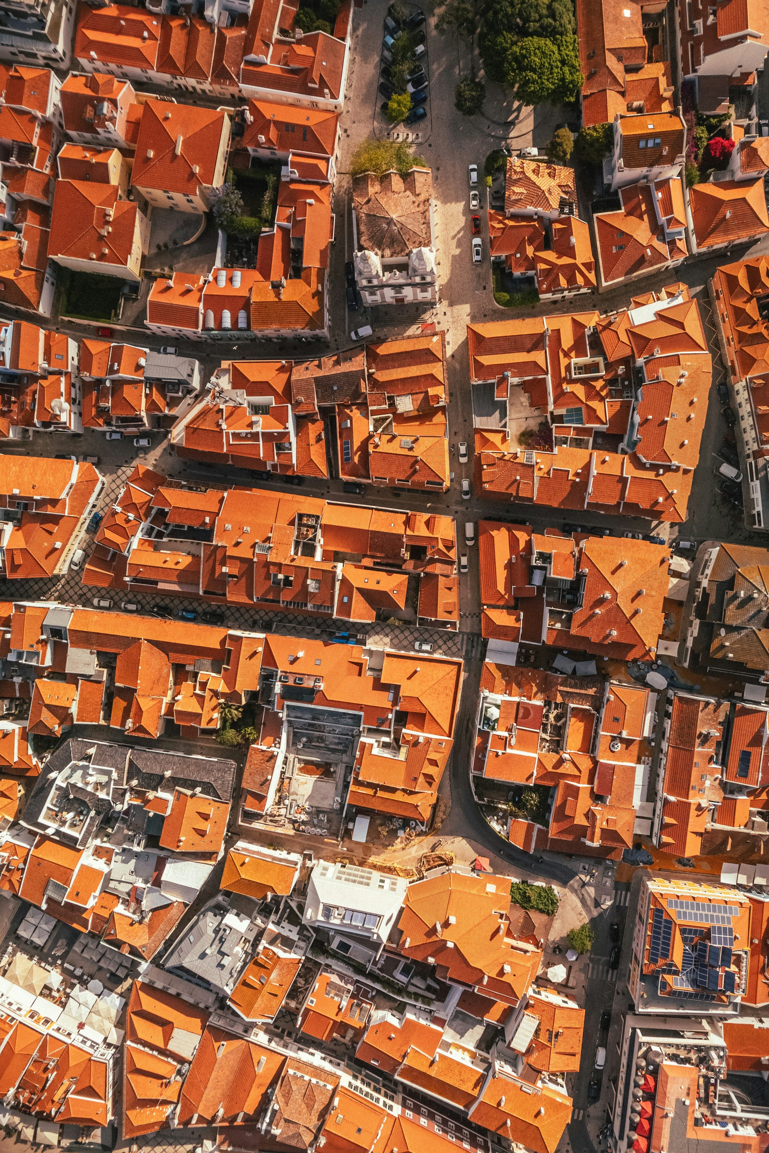
It’s easy to think of the grid network as the gold standard for good connectivity. It has real advantages. The intersections happen at right angles. Cognitively, they’re easy to remember and navigate, but that’s not always how things work out. During the community design session, someone asked a question about why the old cities had such squirrelly networks.
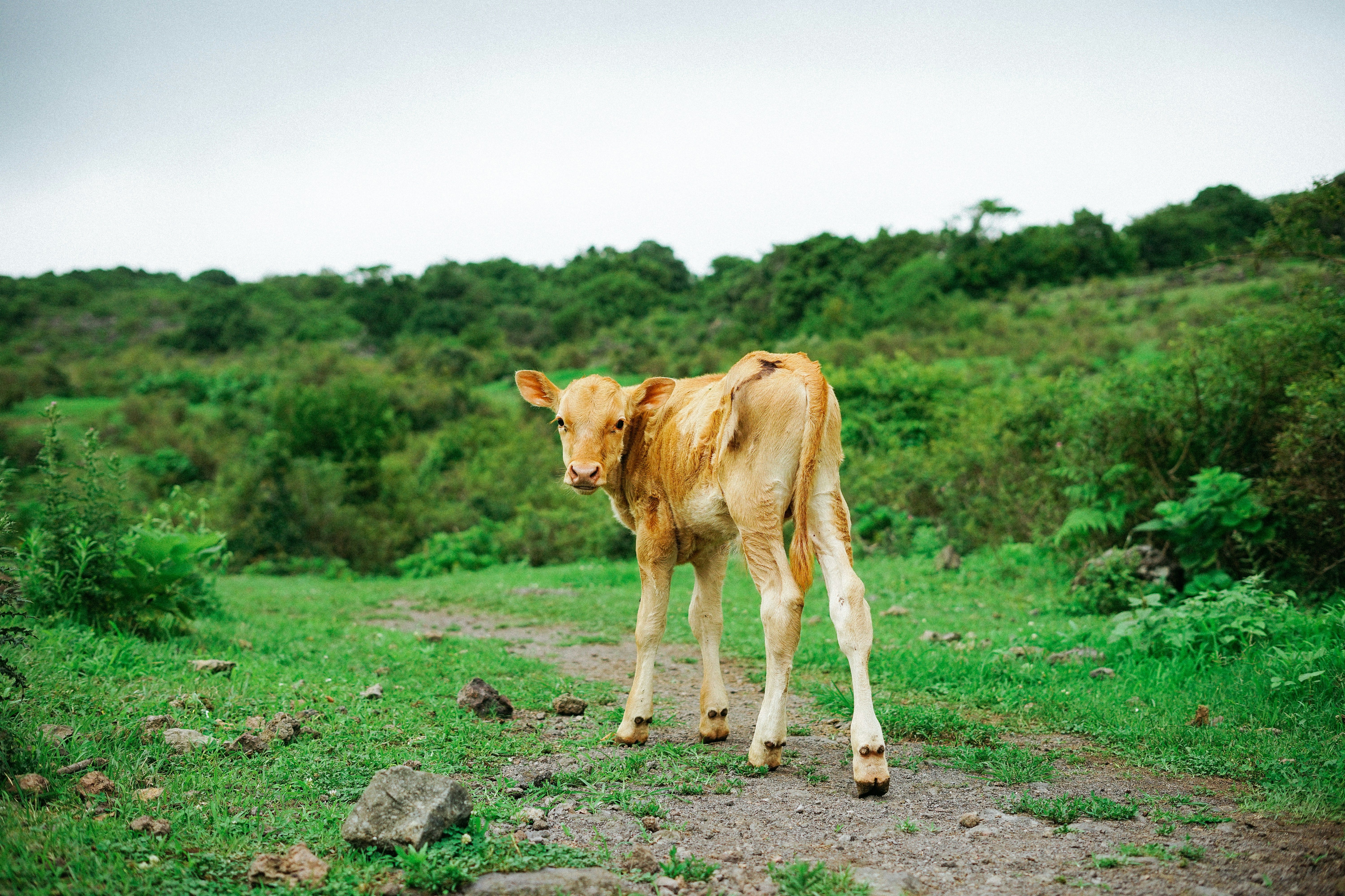
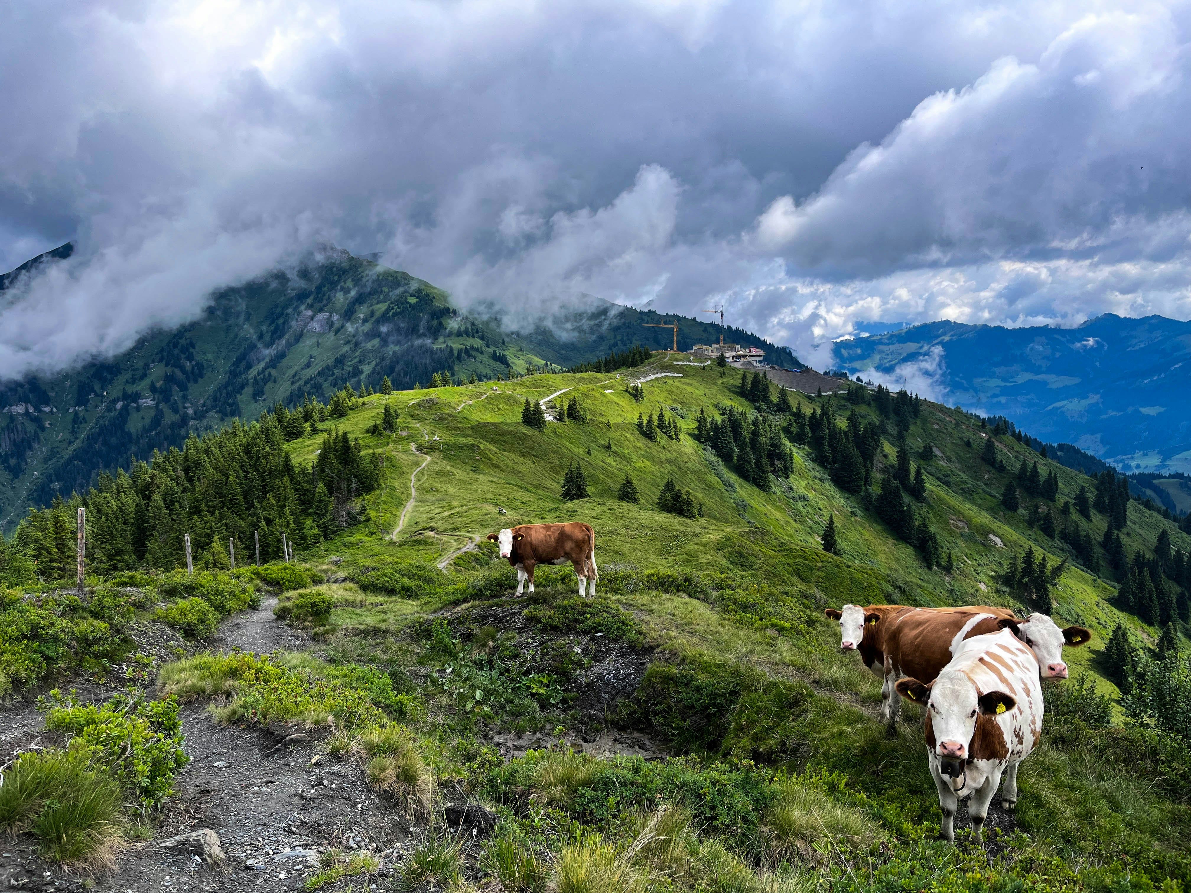
When you’re working with elevation changes, water bodies, or other issues in the land, a pure rectangular grid may not be ideal. One of the things we settled in on was that most of the main pathways were originally cow trails. Animals (and their caregivers) seem to be quite good at finding the path of least resistance day to day. They are able to take into account the elevation changes, mucky spots, and social boundaries that may not be obvious on a map. Over time, those paths become well worn and accepted—transforming seamlessly into roads that function far better than a straight line facility could.
So how could you use this?
If you’re a developer, greenfield projects are often just that: green fields that are currently being used by animals and farmers. Pay attention to the paths that emerge in the landscape as you lay out your grid and don’t be too quick to change them. They may know something you don’t.
Up Next: Pot Luck
I just don’t know!! I have about half a dozen ideas in the hopper, but I’d be happy to do a Q&A some time in the next few weeks. Send me questions and I’ll see what I can do!